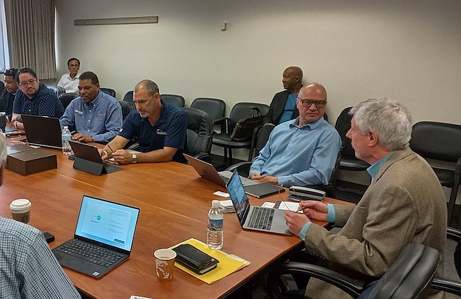
Members of the BACSWN team during their discussions in Colorado.
By YOURI KEMP
Tribune Business Reporter
ykemp@tribunemedia.net
A “first of its kind transformational aviation, climate, meteorological and severe weather network” is set to propel The Bahamas to become a “world leader” in the aviation sector.
The Bahamas Aviation, Climate & Severe Wx Network Ltd (BACSWN) made significant headway after several meetings and presentations in Boulder, Colorado, with officials from the National Centre for Atmospheric Research (NCAR) recently. They are looking to achieve its goal as the Caribbean’s first company to bring 3D imaging to weather forecasting and enhanced weather tracking systems.
The Bahamas is the “ideal” place to begin NCAR’s expansion into the Caribbean, considering the country’s recent history with Hurricane Dorian in 2019, said Roelof Bruintjes, project scientist.
William Mahoney, director at NCAR, also said that: “We’re continually trying out new products and software and we want to help The Bahamas to better predict weather patterns and have better success in managing airline traffic in and out of its airspace.”
NCAR has a team of scientists dedicated to forecasting weather patterns across the world. For example, it had partnered with the Taiwanese government in producing its Advanced Operational Aviation Weather System (AOAWS) that provides high resolution advanced aeronautical and meteorological information to aviation to enhance flight safety, aviation system capacity and efficiency utilising advanced technologies. This information can be utilised by different groups in the aviation sector from air traffic personnel, pilots, airline dispatchers, and meteorologists.
Lyrone Burrows, president and chief executive officer of BACSWN, told Tribune Business that the partnership they are developing with NCAR is the perfect fit and that the presentations provided keen insight on how to integrate 3D technology into their platform, particularly for imaging tropical storms and weather depressions. “It’s very enlightening. I think definitely the visualisation, the conversations relative to the lightning, lightning data, the level of efficiencies that can come from having a proper systems to be able to identify the lightning and ensure that the appropriate actions are taken so that you’re not shutting down your operations for an extended time period. And also identifying the correct lightning instances for those scenarios to be able to be played out.”
Severe lightning and thunderstorms are a primary cause of delayed flights. Lightning at airports is a safety concern and there have been incidents that haven’t ended well over the past several years.
There have been a few incidents at airports with deaths, there have been incidents with injuries that are a bit more frequent, but it does depend where you are. To mitigate the Lightning as a safety concern at US airports, there are safety procedures that oftentimes trigger ramp closures to mitigate that risk and that does have an impact on air traffic, from delayed flights due to the ramp closures, all of which costs money.
This is why the 3D technology that BACSWN is planning to bring to The Bahamas would be a pivotal game changer for the Caribbean as it would enable them to ease the burden off of an already congested flight path, providing better forecasting for weather patterns by having cockpit weather services in addition to providing air traffic controllers with real time data in order to better inform pilots on the flight spacing or delays brought about by storm patters and weather depressions, while being a model that can be exported across the region.
BACSWN has also partnered with American multinational aerospace and defense conglomerate, Raytheon Technologies, to assist with providing better technologies for the meteorological and airline industry in The Bahamas.
NCAR along with Raytheon, will help BACSWN to simultaneously deliver on better forecast imaging strategies as well as modern tracking equipment, respectively.
The goal is to see weather patterns in 3D in real time and have that information delivered to all of the stakeholders involved in the flight operations chain, from the ground control to the cockpit.


Comments
Use the comment form below to begin a discussion about this content.
Commenting has been disabled for this item.